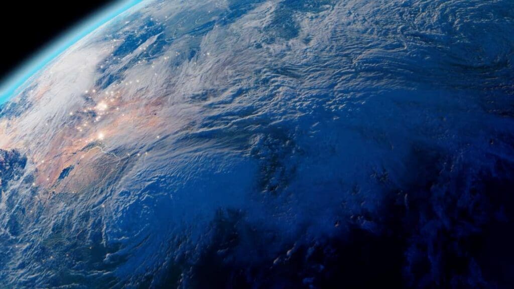
Grande Comore, also known as Ngazidja, is the largest island in the Comoros archipelago, situated in the Indian Ocean between Madagascar and Mozambique. Seen from space in this Copernicus Sentinel-2 image captured on 12 July 2024, the island’s dramatic volcanic terrain and coastal outline stand out against the surrounding deep blue sea.
The landscape of Grande Comore is shaped by Mount Karthala, one of the world’s most active volcanoes and the highest peak in the Comoros. Its lava flows and caldera formations contribute to the island’s rugged terrain and unique ecosystems. The capital city, Moroni, lies along the western coastline and serves as the political and cultural heart of the island nation. With strong Arabic and Swahili influences, Moroni reflects centuries of maritime trade and cultural exchange.

Grande Comore’s economy depends largely on agriculture, fishing, and a growing tourism sector. Visitors are drawn to its white-sand beaches, vibrant coral reefs, and historical sites. Volcanic soils also support the cultivation of crops like vanilla, ylang-ylang, and cloves, which are important exports.
This Copernicus Sentinel-2 image provides a detailed view of the island’s topography and vegetation, supporting the monitoring of natural features and human activity. Satellite data from the Copernicus programme help track volcanic changes, manage marine environments, and provide essential information for island resilience and sustainable planning.
Featured image credit: European Union, Copernicus Sentinel-2 imagery