Spanning the southern tip of Vietnam, the Mekong Delta is one of Southeast Asia’s most productive agricultural regions. This flat, densely cultivated plain supports rice fields, aquaculture ponds, and fruit orchards that play a central role in Vietnam’s food supply and economy. Covering roughly 39,000 square kilometres within Vietnam, the delta is home to nearly 20 million people, the majority of whom live in rural areas and rely directly on farming and fishing.
The delta forms at Phnom Penh, Cambodia’s capital, where the Mekong River meets the Tonle Sap and splits into multiple distributaries, including the Bassac River. These waterways eventually divide into nine main channels as the river approaches the South China Sea – a system traditionally referred to as the ‘Nine Dragons’ in Vietnamese culture. The Mekong itself originates on the Tibetan Plateau and travels approximately 4,910 kilometres through six countries before reaching the delta, making it one of the world’s great transboundary rivers.
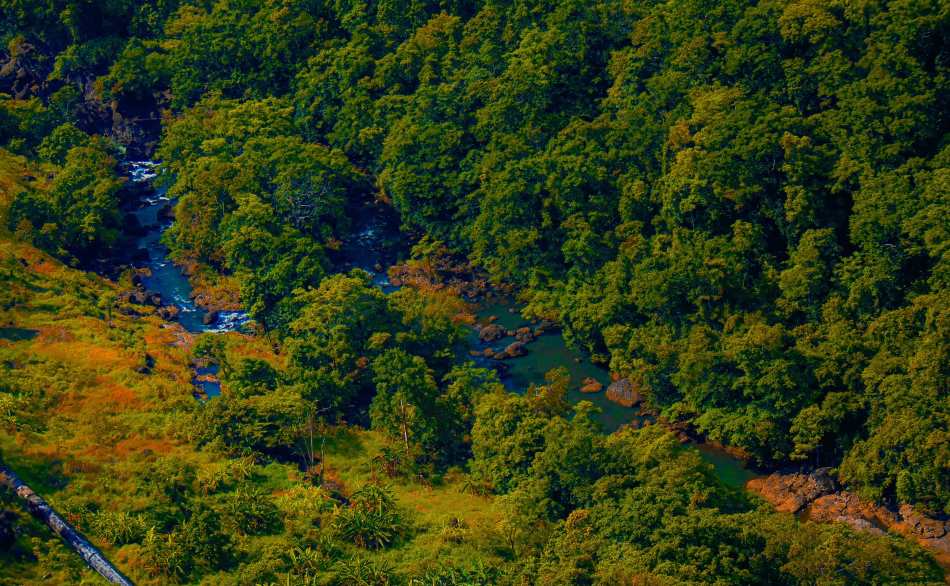
Seasonal flooding in the region plays a crucial role in agriculture, delivering nutrient-rich sediment that helps sustain high crop yields. As a result, the Mekong Delta accounts for more than half of Vietnam’s rice production and a large share of its fish and fruit exports.

This Copernicus Sentinel-2 image, acquired on 30 June 2025, shows a patchwork of agricultural plots spread across the delta, with irrigation canals cutting through the fields. Offshore wind turbines are also visible along the coast, reflecting the country’s growing investment in renewable energy infrastructure.
Copernicus satellite data supports the monitoring of land use, agricultural productivity, and water management across the region. With the delta facing mounting challenges from sea level rise, saltwater intrusion, and land subsidence, Earth observation plays a vital role in guiding adaptation and sustainability efforts.
Featured image credit: European Union, Copernicus Sentinel-2 imagery