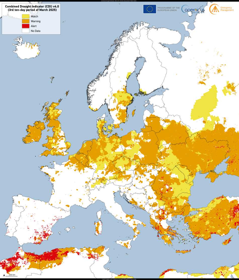
A combination of high temperatures and scarce rainfall is intensifying drought conditions across Europe, according to the latest ‘Drought in Europe – April 2025‘ report from the European Drought Observatory. The Copernicus Emergency Management Service data highlight significant drops in river flows, with alert-level droughts already impacting parts of the Iberian Peninsula and southern Europe, while large portions of eastern Europe, the UK, and Ireland remain at watch or warning levels.
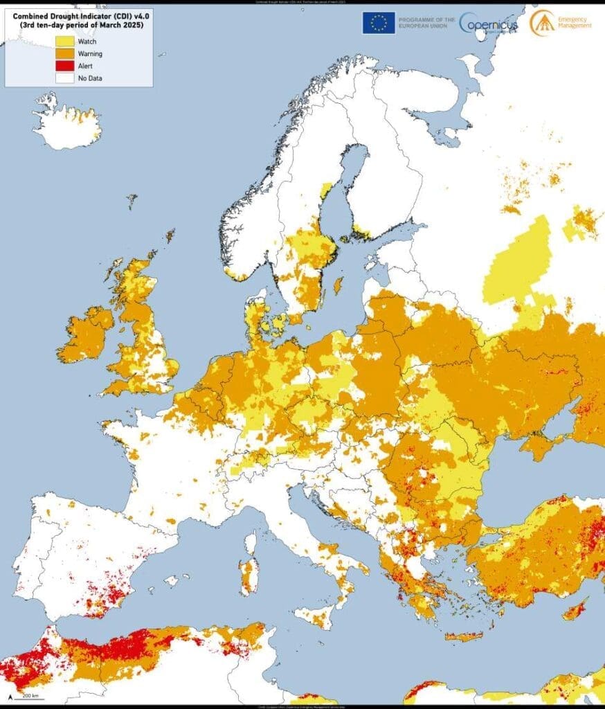
The visualisation featured here, created using the Combined Drought Indicator (CDI), depicts conditions during the final third of March 2025. It reflects a continent under stress: alert statuses spreading through the Mediterranean and watch-level warnings stretching into northern and eastern regions. Recent above-average temperatures – especially in Scandinavia, the Baltic region, the Alps, and eastern Europe – have compounded the effects of ongoing dry weather.

According to the report, rivers in eastern Europe, the Baltic Sea region, northern Germany, Benelux, and Türkiye are experiencing reduced flows. Notably, the Rhine River is nearing a critical threshold for inland navigation. These hydrological changes could disrupt agriculture, energy supply, and transportation, while also threatening biodiversity.
Though some vegetation appears to be responding positively, possibly due to early seasonal growth spurred by warm temperatures, the report warns that stress symptoms may surface if drought conditions persist into the coming months. Forecasts suggest continued warm and dry weather in the north of Europe, with uncertainty regarding rainfall patterns further complicating predictions.
Copernicus data remains essential for tracking these developments, offering timely information for decision-makers and reinforcing the value of satellite-based drought monitoring.
Featured image credit: European Union, Copernicus Emergency Management Service data


