Gothenburg, Sweden’s second largest city, sits on the country’s western coast along the Kattegat and is part of the EU Mission for Climate-Neutral and Smart Cities. The city joined the Mission in 2022, taking its sustainability commitments to the European level by pledging to reach climate neutrality by 2030. In 2024, Gothenburg earned the EU Mission Label in recognition of this dedication, marking its participation among the European cities working to develop practical, long-term solutions for urban climate transition.
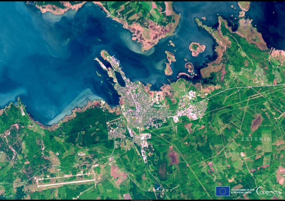
On 18 October 2025, one of the Copernicus Sentinel-2 satellites captured this view of Gothenburg, showing its harbour, waterways, coastal districts, and green surroundings along the Kattegat. The image reflects the geographic setting that shapes the city’s planning, with urban areas positioned between marine infrastructure and natural landscapes.

The EU Mission is designed to support climate-neutral urban systems by combining research, innovation, governance, and public engagement. It is focused on turning ambitious goals into practical solutions by encouraging collaboration among residents, businesses, civil society, academic institutions, and different levels of government. The Mission emphasizes collective action, recognising that no single actor can deliver climate neutrality alone.
Gothenburg’s work toward climate neutrality by 2030 is based on understanding where emissions originate and which systems have the greatest climate impact. The city has identified seven strategic areas of priority, each structured around specific actions intended to address climate neutrality from different perspectives. These priorities include technical innovation, financial investment, organizational transformation, governance, policy development, cultural change, and social behaviour, reflecting a citywide effort to move toward lower-emission systems.
Copernicus supports this wider European transition by providing continuous Earth Observation data to researchers, public authorities, and businesses. The Sentinel-2 view of Gothenburg is one example of how Copernicus imagery contributes to planning processes, environmental monitoring, and urban strategies connected to climate neutrality.
Featured image credit: European Union, Copernicus Sentinel-2 imagery